


5 km | 6.3 km-effort


User


FREE GPS app for hiking
 SityTrail
IGN / Geographical institutes
SityTrail World
The world is yours!
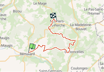
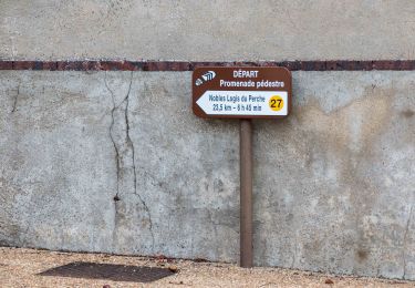
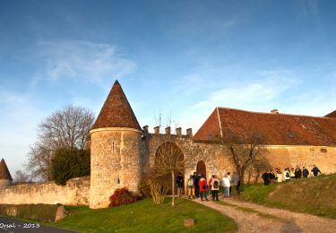
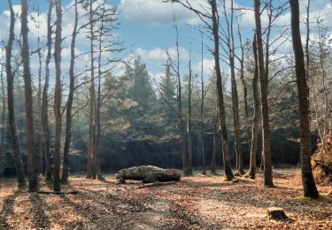
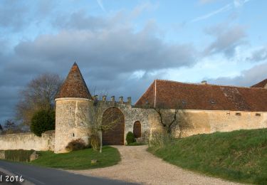
Trail Walking of 23 km to be discovered at Normandy, Orne, Rémalard en Perche. This trail is proposed by togolo28.
Le Tour des Collines du Perche à été réalisé par l'association « Itinéraires Ruraux » de Pervenchères (orne). Vous pouvez consulter leur site internet : http://itinerairesduperche.org
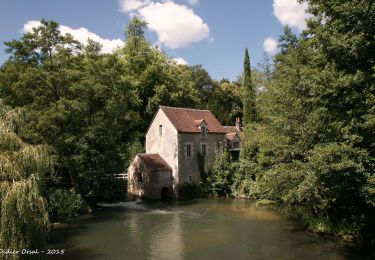
Walking
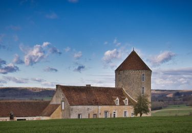
Walking
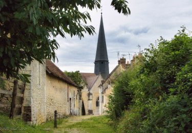
Walking
Walking
Walking

Walking

Walking
Walking
Walking